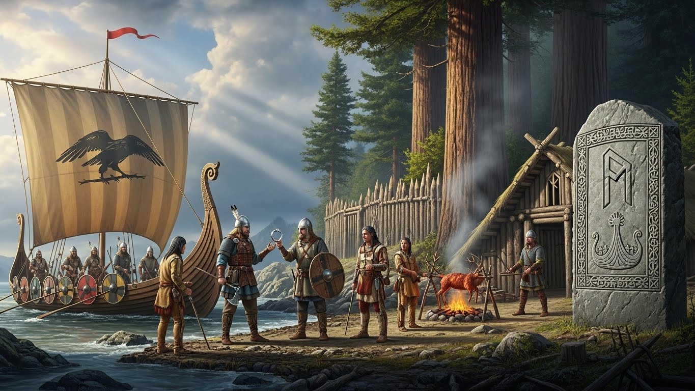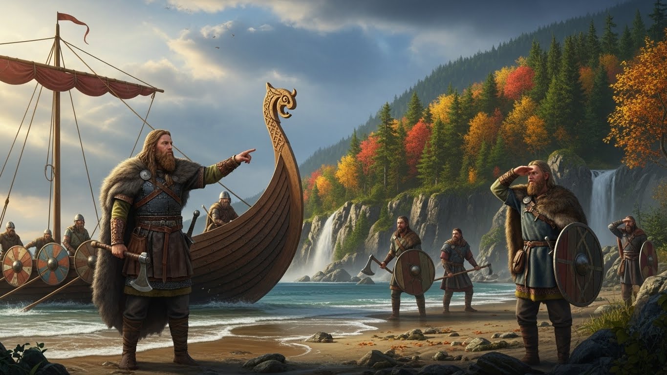

Somewhere on the northern tip of Newfoundland, in the year 1021, a Norse settler swung an iron axe into a tree. The cut is still there, preserved in a scrap of wood. So is something far stranger: the fingerprint of a storm on the Sun that hit the Earth twenty-eight years earlier. Together they give us the most precise date we have for Europeans in the Americas, and it is 471 years before Columbus.
The short answer
Vikings were living and working in North America by 1021 at the latest. Wood cut with metal blades at L’Anse aux Meadows, Newfoundland, carries a radiocarbon spike from a solar storm in the year 993. Counting the tree rings from that spike out to the bark shows that three different trees were felled in 1021. Columbus reached the Caribbean in 1492: 1492 minus 1021 is 471 years.
This article follows the same trail as our documentary, Vikings Reached America 471 Years Before Columbus. Here’s the Proof: from the Icelandic sagas that most historians once filed next to dragons and trolls, to a field of grassy bumps in Canada, a handful of butternuts, a famous forgery, and finally the tree rings that settled the question.
Key dates at a glance
| Year | What happened |
|---|---|
| c. 982 | Erik the Red is outlawed from Iceland for three years and explores the land to the west |
| c. 985 | About 25 ships leave Iceland to settle Greenland; according to the sagas only 14 arrive |
| 986 | Bjarni Herjolfsson, blown off course, sees a forested coast but never lands |
| c. 1000 | Leif Erikson sails west and names Helluland, Markland and Vinland |
| 1021 | Three trees are cut down with metal tools at L’Anse aux Meadows (tree-ring date) |
| c. 1075 | Adam of Bremen mentions an island called Vinland in his history of the northern lands |
| 1200s | The two Vinland sagas are written down in Iceland |
| 1347 | Icelandic annals record a Greenland ship that had been sailing to Markland |
| 1408 | Last written record from Norse Greenland: a wedding at Hvalsey church |
| 1960 | Helge and Anne Stine Ingstad are shown the site at L’Anse aux Meadows |
| 1965 | Yale unveils the Vinland Map, the day before Columbus Day |
| 1978 | L’Anse aux Meadows becomes one of the first UNESCO World Heritage Sites |
| 2021 | The 1021 date is published in Nature; Yale confirms the Vinland Map is a fake |
An outlaw, a sales pitch and the road to Greenland
The story starts with a man on the run. Erik Thorvaldsson, remembered as Erik the Red, grew up in a family that had already been pushed out of Norway after a killing. In Iceland the good land was taken, and around 982, after a string of feuds with his neighbours, Erik killed several men. The local court outlawed him for three years.
Iceland was then about as far west as any European lived. Beyond it lay a coast that a sailor named Gunnbjorn had glimpsed after being blown off course, and that nobody had bothered to revisit. Erik went to look. He found a huge ice-covered land with sheltered green bays on its southwest side, spent his exile exploring it, and came home with a plan and a name designed to attract struggling farmers: Greenland.
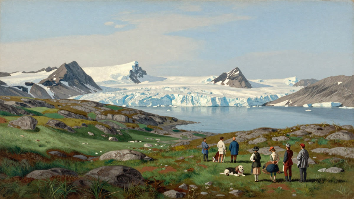
Around 985, some twenty-five ships left Iceland with families, animals and tools. According to the sagas only fourteen reached Greenland; the rest turned back or were lost in the North Atlantic. The survivors built farms and churches at the edge of the frozen north, and it was from Greenland, not Scandinavia, that the next jump west would be made.
The sagas: Bjarni, Leif and the naming of Vinland
The first European to see North America was probably not even looking for it. In 986 a young trader, Bjarni Herjolfsson, sailed for Greenland to find his father, got lost in fog and contrary winds, and sighted a low, forested coast with no glaciers. His crew wanted to go ashore for wood and water. Bjarni refused and sailed on.
Around the year 1000, Erik’s son Leif Erikson bought Bjarni’s ship, gathered about thirty-five men and followed the route in reverse. For Greenlanders, who had almost no timber, a land of forests was a treasure. The sagas say Leif named three places: Helluland, the land of flat stones (most likely Baffin Island); Markland, the forest land (almost certainly the coast of Labrador); and finally a place with salmon-filled rivers, winter grazing for cattle and longer winter daylight than at home. When a member of the crew found wild grapes, Leif called it Vinland.
That detail about daylight matters: it places Vinland well south of Greenland and Iceland. But there is a problem with using the sagas as evidence. The two texts, the Saga of the Greenlanders and Erik the Red’s Saga, were only written down in the 1200s, about two centuries after the voyages, and they disagree on important points. For most of modern history, that made Vinland look like Atlantis: a good story nobody could prove. (For the full saga narrative, see our article on Leif Erikson and the Vinland voyages.)
First contact, a baby called Snorri, and Freydis
The sagas do not stop with Leif. His brother Thorvald sailed to Vinland, found three skin boats upturned on a beach with nine people hiding beneath them, and attacked. Eight were killed and one escaped. The reprisal came quickly, and Thorvald died of an arrow wound, one of the first Europeans known to have died in the Americas. The Norse called the people they met Skraelings, a dismissive word. Those people had lived there for thousands of years. We look at this meeting in more depth in Vikings and Native Americans: first contact in Vinland.
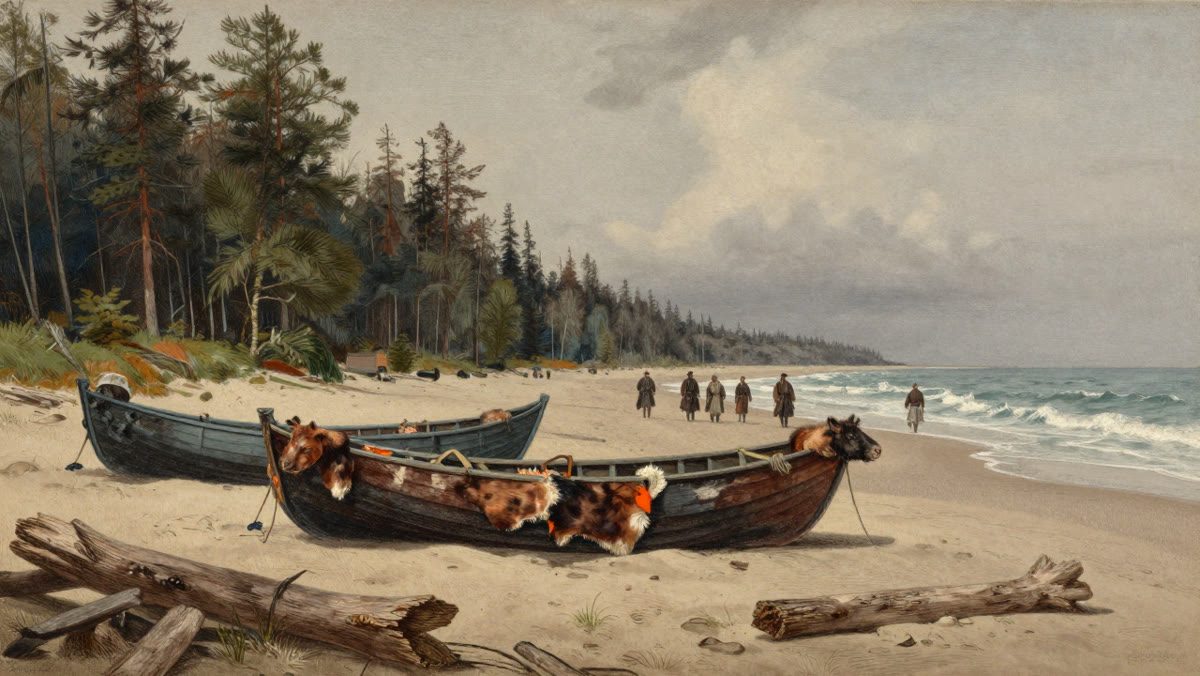
The boldest attempt at settlement was led by the Icelandic trader Thorfinn Karlsefni and his wife Gudrid. Depending on the saga, between sixty and a hundred and sixty people went, women included, with cattle and a bull. In Vinland Gudrid gave birth to a son, Snorri, the first child of European descent known to have been born in the Americas. He grew up in Iceland, and many Icelanders today trace their ancestry to him. Gudrid herself later made a pilgrimage to Rome and ended her life as a nun.
Trade with the local people, furs for red cloth and dairy products, turned to fighting after Karlsefni’s bull charged out of the woods. In one saga, Erik’s daughter Freydis, pregnant and unable to flee, scares off attackers by striking a sword against her bare chest. In the other, she is a murderer who has an entire rival camp killed. The two versions cannot both be true, and the honest answer is that we do not know which is closer to the truth. After about three years, Karlsefni’s group gave up and sailed back to Greenland.
Proof 1: a German priest wrote “Vinland” around 1075
Long before any excavation, the name Vinland turned up on the other side of Europe. Around 1075, Adam of Bremen, a German cleric writing a history of the northern lands, described an island in the ocean called Vinland, where grapes grew wild and crops grew without being sown. He had his information from the king of Denmark.
That text is more than a century older than the sagas and more than four hundred years older than Columbus’s first voyage. It shows the word Vinland was circulating in European royal courts in the eleventh century. It does not prove where Vinland was, and plenty of later “proof” was wishful thinking: the Kensington Runestone found in Minnesota in 1898, for example, is regarded by most experts as a modern fake.
Proof 2: the bumps in a field at L’Anse aux Meadows
By the 1950s, finding a real Norse site in America looked hopeless. Then came Helge Ingstad, a Norwegian lawyer-turned-trapper who believed the sagas could be read almost as sailing directions, and his wife Anne Stine Ingstad, an archaeologist. In 1960, searching the coast of northern Newfoundland, they reached the fishing village of L’Anse aux Meadows. A local man, George Decker, walked them to a field by the bay where low grassy ridges ran through the turf. Locals had assumed it was an old Indigenous camp. To the Ingstads, the shapes looked like collapsed sod walls.
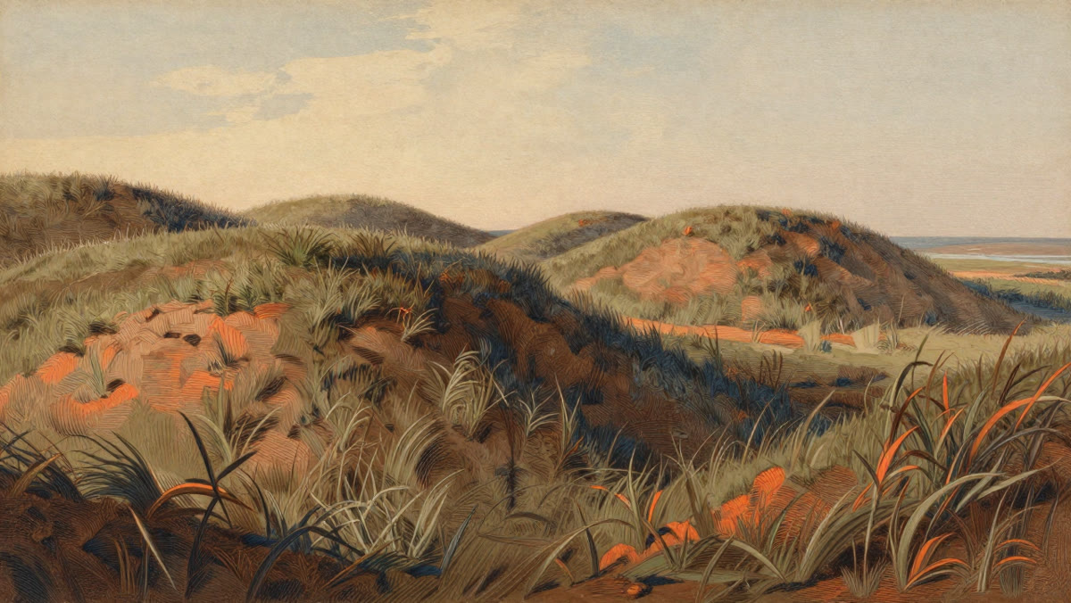
From 1961, excavations led by Anne Stine Ingstad uncovered the remains of eight buildings. Three were large halls built exactly as in Iceland and Greenland, with thick sod walls over a timber frame, long central hearths and separate rooms. One hut was a smithy, with slag and evidence that bog iron had been smelted into metal, something the local Indigenous peoples of the time did not do. Then came the small finds: a bronze cloak pin, iron boat rivets, a bone needle, a whetstone and a stone spindle whorl for spinning wool. Spinning was usually women’s work, which fits the sagas’ claim that women were there.
Dating placed the site around the year 1000. In 1978 L’Anse aux Meadows became one of the very first places named a UNESCO World Heritage Site. But “around 1000” was the best science could do: radiocarbon dates on the site were only good to within a few decades.
Proof 3: a handful of butternuts
Among the finds were a few butternuts (white walnuts) and a piece of butternut wood worked with a tool. Butternut trees do not grow in Newfoundland. The nearest ones grow much further south, around the Gulf of St. Lawrence and in New Brunswick. Someone carried those nuts north.
Wild grapes do not grow in northern Newfoundland either, but they grow in some of the same southern areas as butternuts. That changes how we read the site. L’Anse aux Meadows looks less like a colony and more like a base camp or gateway: there are no graves and no animal barns, just halls, workshops and a smithy used for a fairly short time. From here, crews seem to have sailed further south for timber, grapes and nuts. The Vinland of the sagas was probably a region, and this camp was its front door.
Proof 4: how a storm on the Sun dated the Vikings to 1021
This is the part that turned “around 1000” into a single year.
In 2012 a team led by the Japanese physicist Fusa Miyake reported a sudden spike in radiocarbon in tree rings for the year 774. Something had hit the Earth’s atmosphere with a burst of radiation in a single year; the leading explanation is an extreme solar storm, far stronger than anything observed in modern times. Trees everywhere absorbed the extra carbon-14 and locked it into that year’s ring. A second, smaller spike was found for the year 993. These signals are now called Miyake events, and because they appear in trees all over the world at once, they work like a date stamp hidden inside the wood.
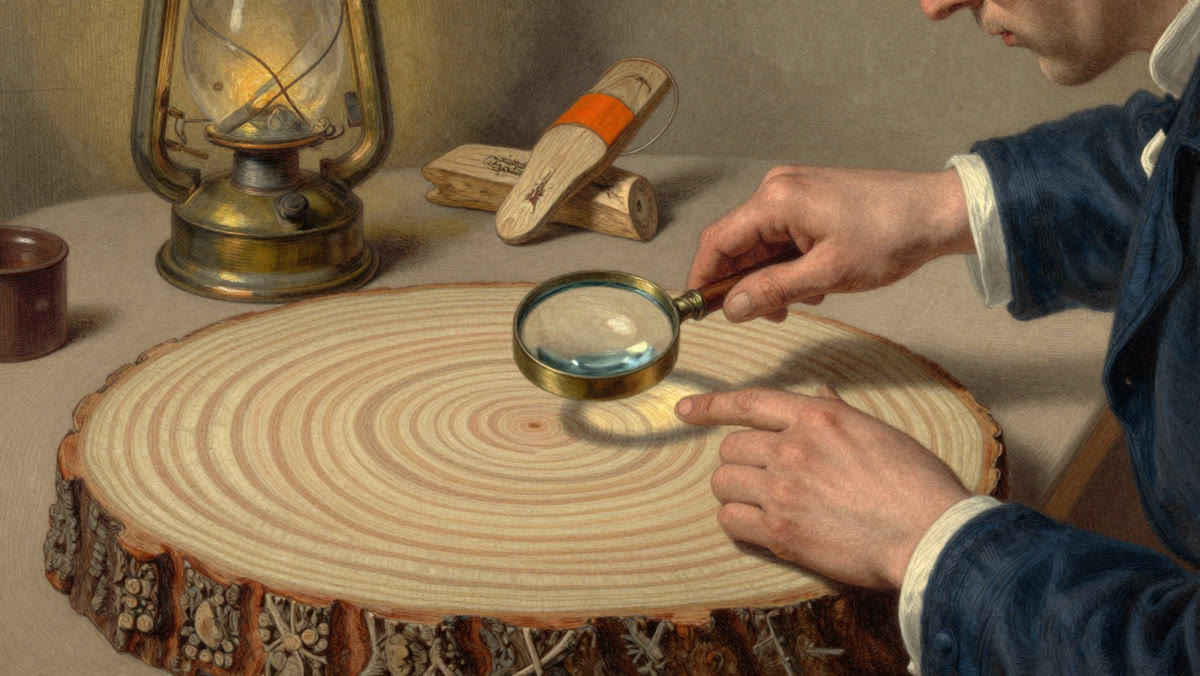
In 2021 a team led by researchers at the University of Groningen in the Netherlands re-examined wood from L’Anse aux Meadows. They chose three pieces from three different trees, each with clear cut marks from a metal blade. Metal tools point to the Norse: the Indigenous peoples of the area did not use them at the time. The team measured radiocarbon ring by ring, found the 993 spike in each piece, and then did something simple and decisive. Each piece still had its outermost ring, the last one the tree grew before it was cut. Counting from 993 to that edge gave the same answer for all three trees: they were felled in 1021.
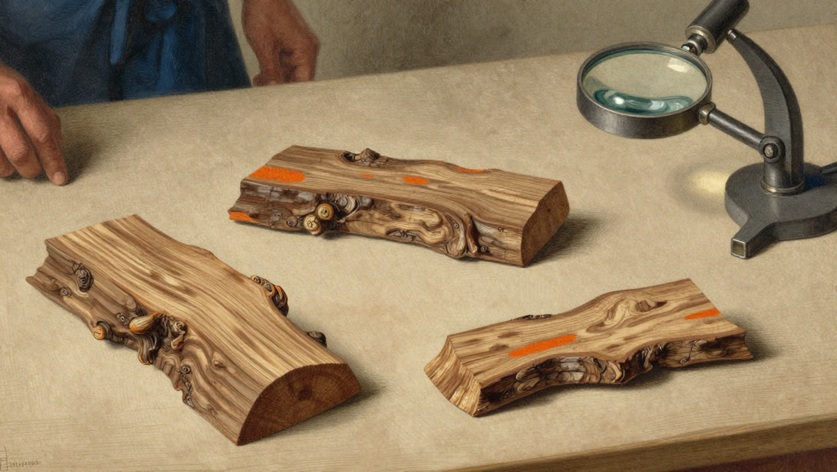
The study was published in Nature in October 2021. It does not say the Norse first arrived in 1021; it proves they were there, cutting wood with iron tools, in that year. If the sagas are right about Leif’s voyage, the first landings may be about two decades earlier. The paper also made a point that is easy to miss. Humans left Africa tens of thousands of years ago and spread both east, eventually into the Americas, and west, eventually into Europe and the North Atlantic islands. The authors describe 1021 as the earliest date by which we know the Atlantic had been crossed and humanity’s migrations had encircled the globe. The two branches of the human family met again on a beach in Newfoundland, and, as the sagas record, the reunion began with violence.
Watch the documentary
The full story, from Erik the Red’s exile to the tree-ring lab, is told in our documentary on YouTube.
Proof 5: the famous map was a fake, and it did not matter
In 1965 Yale University presented the Vinland Map, drawn on old parchment and said to date from the mid-1400s, showing an island labelled Vinland west of Greenland. The unveiling was timed for the day before Columbus Day. Experts were suspicious from the start, and tests over the years found a titanium compound in the ink that was only manufactured in the twentieth century. In 2021, after a new round of analysis, Yale announced that the map was a forgery drawn on old parchment in modern times.
Look at the year again: 2021. In the same year, the most famous fake proof of Norse America was thrown out and the best real proof was published. The forger was trying to prove something that was true all along. We cover the map’s history in The Vinland Map: forgery, Norse exploration and the facts.
Proof 6: the voyages did not stop in 1021
Icelandic annals for 1347, more than three centuries after Leif, mention a small Greenland ship that arrived in Iceland with seventeen or eighteen men aboard after losing its anchor. It had been sailing to Markland, the forested coast of Labrador, most likely for timber. The entry treats the voyage as unremarkable, which suggests it was not the first.
There is also the “Maine penny”: a small Norwegian silver coin from the reign of King Olaf III, struck in the late 1000s, found in 1957 at an Indigenous site in Maine. Nobody thinks the Norse lived in Maine. The likeliest explanation is that the coin travelled south through Indigenous trade networks, although its discovery is still debated. Taken together, these hints suggest that Greenlanders knew about the lands to the west for centuries and kept going back for what they needed.
Why the Vikings left, and why the world forgot
- Too few people. Norse Greenland may never have had more than a few thousand inhabitants, and Vinland was a long, dangerous voyage away. No kingdom stood behind them sending ships, money and soldiers.
- The land was already occupied. The Norse had iron, but no guns, and they were heavily outnumbered. The sagas themselves say the settlers left because they would always be in danger.
- No epidemic ran ahead of them. Small crews from Greenland probably did not bring the devastating diseases that swept the Americas after 1492.
- Europe barely noticed. There was no gold rush and no printing press. Vinland stayed inside Icelandic storytelling.
Did Columbus hear any of it? A biography written by his son says Columbus sailed north in 1477 to an island he called Thule, which many take to be Iceland. There is no evidence he heard about Vinland there, but it is hard not to wonder.
The end of Norse Greenland
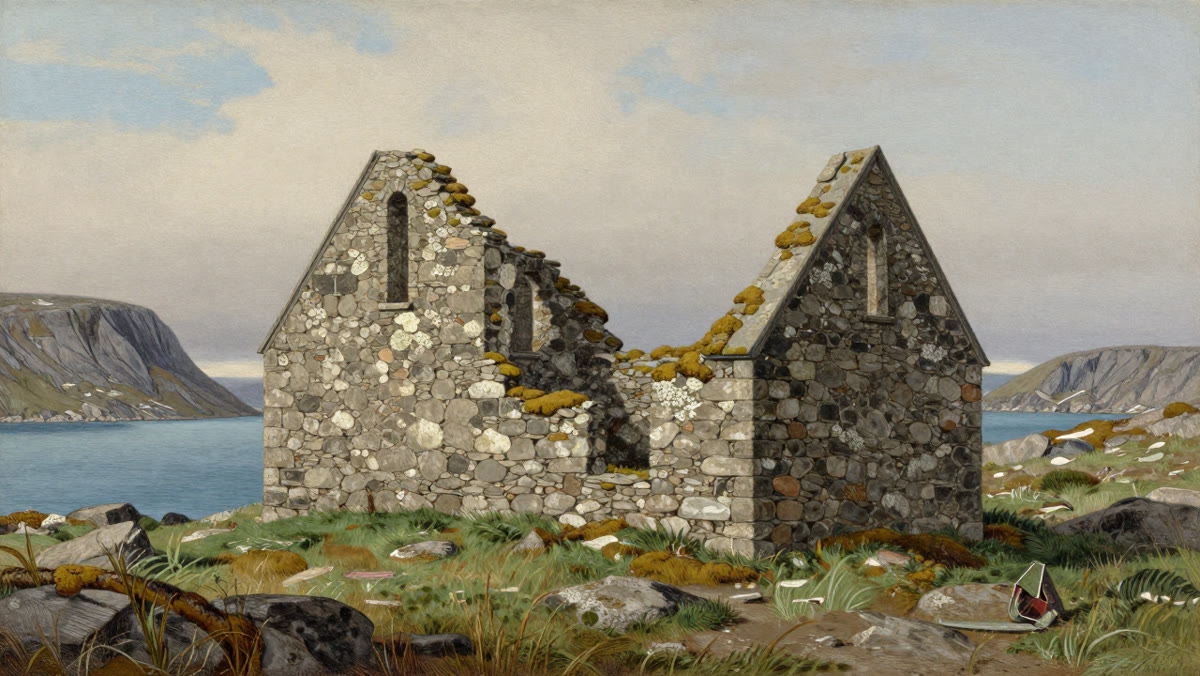
The Greenland colony survived for centuries on farming, hunting and the export of walrus ivory. But the climate cooled into what is often called the Little Ice Age, sea ice made voyages more dangerous, demand for walrus ivory in Europe fell, and ships from Norway came less and less often. The last written record from Norse Greenland is a wedding at Hvalsey church in 1408, preserved only because the couple later needed proof they were married. Hvalsey’s stone walls still stand. Sometime in the 1400s the Norse Greenlanders disappeared, whether by emigration or by slowly dying out, and scholars still debate which. By 1492 the people whose ancestors had first reached America were gone.
So who discovered America?
The first people to discover America were the ancestors of the Indigenous peoples of the Americas, who arrived thousands of years before any Viking ship and built countless cultures, cities and languages across two continents. The Norse were, as far as we can prove, the first Europeans to reach the Americas and live there, crossing one of the most dangerous oceans on Earth in open wooden boats. Columbus’s voyages did what theirs never did: they connected the Americas permanently to the rest of the world, for better and, for the people already living there, very often for worse.
The real lesson is that being first is not the same as being remembered. Leif Erikson reached America and Europe hardly noticed. Gudrid gave birth on the far side of the ocean and her name was nearly forgotten. Anne Stine Ingstad led the excavation that proved it all and for years her husband received most of the credit. And the Indigenous people who met the Norse on those beaches left no sagas, so their side of the story is almost entirely lost. In the United States, 9 October is Leif Erikson Day, but the best monument is still the windswept field at L’Anse aux Meadows.
Now watch it
See the sagas, the dig and the tree-ring science come together in our full documentary. If you enjoy it, subscribe to History Candle for new long-form history every week.
Frequently asked questions
When did the Vikings reach America?
The Norse were in North America by 1021 at the latest. Tree rings in wood cut with metal tools at L'Anse aux Meadows, Newfoundland, prove that trees were felled there in 1021. The Icelandic sagas place Leif Erikson's first voyage around the year 1000, so the first landings may be about two decades earlier.
How many years before Columbus did the Vikings reach America?
At least 471 years. Columbus reached the Caribbean in 1492, and the Norse were cutting wood in Newfoundland in 1021: 1492 minus 1021 is 471. If Leif Erikson's voyage around 1000 is accurate, the gap is closer to 490 years.
Where did the Vikings land in North America?
The only confirmed Norse site in the Americas is L'Anse aux Meadows, at the northern tip of Newfoundland in Canada. Butternuts found there come from further south, around the Gulf of St. Lawrence and New Brunswick, which shows that Norse crews also sailed beyond the base camp.
How do scientists know the Vikings were in America in 1021?
A solar storm in 993 left a sudden spike of carbon-14 in tree rings all over the world, known as a Miyake event. Researchers found that spike in three pieces of Norse-cut wood from L'Anse aux Meadows, then counted the rings from 993 to the bark edge. All three trees were felled in 1021. The study was published in Nature in 2021.
Was the Vinland Map real?
No. Yale University announced in 2021 that the Vinland Map, unveiled in 1965, is a forgery: its ink contains a titanium compound first produced in the twentieth century. The real evidence for Norse America comes from archaeology at L'Anse aux Meadows, not from the map.
Why didn't the Vikings stay in America?
Norse Greenland had only a few thousand people, Vinland was a long and dangerous voyage away, and no kingdom supported the venture. The land was already home to Indigenous peoples who outnumbered the settlers, and the sagas themselves say the Norse left because they would always be in danger there.
Sources and further reading
- Kuitems, M., Wallace, B. L., Dee, M. W. et al. (2021). “Evidence for European presence in the Americas in AD 1021”. Nature. doi.org
- Miyake, F. et al. (2012). “A signature of cosmic-ray increase in AD 774–775 from tree rings in Japan”. Nature. doi.org
- Miyake, F. et al. (2013). “Another rapid event in the carbon-14 content of tree rings”. Nature Communications. doi.org
- UNESCO World Heritage Centre: L’Anse aux Meadows National Historic Site. whc.unesco.org
- Parks Canada: L’Anse aux Meadows National Historic Site. parks.canada.ca
- Yale University Library (2021): announcement that the Vinland Map is a forgery. news.yale.edu
- Adam of Bremen, Gesta Hammaburgensis ecclesiae pontificum, book IV (c. 1075).
- The Saga of the Greenlanders and Erik the Red’s Saga (the Vinland sagas), written in Iceland in the 1200s.
Keep reading
- Ragnarök explained: how the Vikings believed the world would end
- Leif Erikson and the Vinland voyages
- Vikings and Native Americans: first contact in Vinland
- Did Irish monks reach America before the Vikings?
- The legend of Madoc: did a Welsh prince reach America?
- Ancient America: Cahokia, the Mound Builders and Vinland